
No. 548 Postcard. Neponset Bridge, Neponset, Mass. Postmarked July 26, 1910.
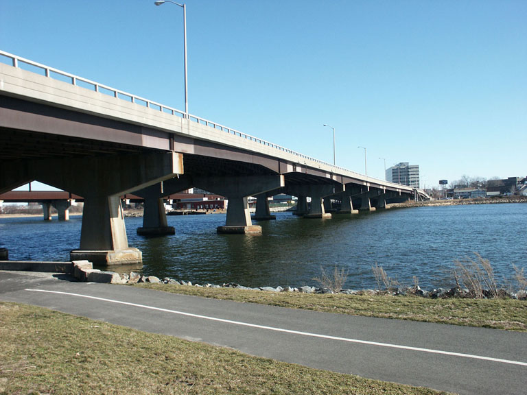
The current bridge was constructed in 1970. Repairs of $33 million were competed in 2012.
The following is from:
Harris, Thaddeus Mason. Chronological and Topographical Account of Dorchester. [Boston, 1804], 19.
“Another bridge has been built over the river from Squantum by the Quincy turnpike association, and was completed in the year 1803.”
Wood, Frederic J. Turnpikes of New England. Boston, 1919
The Quincy Turnpike … was built in connection with the Neponset Bridge between Dorchester and Quincy. As early as 1635 the need of crossing the Neponset River near” its mouth seemed great enough to demand a ferry, and the right to conduct such a business was granted to John Holland in that year. That ferry crossed from Preston’s Point in Dorchester to Billings’ Rocks in Quincy, and in 1802, on March 11, the Neponset Bridge Corporation was formed to build a bridge between the same points. But Holland’s ferry did not pay and was soon given up. In 1638 another ferry was established farther up stream, which was known as the “Penny Ferry” on account of that coin being charged for a single passage. Ten years later we find that the ferry had disappeared, and ” Mr. Joh Glour ” was then given a franchise for a period of seven years. The need of better means of crossing was so great that Quincy voted in a town meeting in 1802 to choose two agents to assist the promoters of the Neponset Bridge Corporation in their efforts to secure the franchise.
Serious difficulties were found in building the bridge at the location specified in 1802, so the next legislature was appealed to for an amendment, which was granted, allowing the bridge to be erected at
” Horse Hummock ” instead of at Preston’s Point. The first charter contained the right to build a road from the bridge to the Quincy meeting-house but provided for no tolls upon it. In the amendment the same road was allowed with another on the Boston side running to “Dorchester Lower Road.” Dorchester and Quincy people were to have the free use of their respective roads. The corporation was to maintain the road in Dorchester, but Quincy was to share the expense of the road on its side.
Hancock Street to-day follows the lines laid out by the bridge corporation from its road to Quincy meeting-house. It was over two and a half miles long, but no gate was erected upon it nor tolls collected, so it was not a turnpike but a feeder for the bridge. But on some maps and in many papers the road is spoken of as the “Quincy Turnpike,” as has also been found the case with the road on the Dorchester end.
As with turnpikes, returns of business done were required from toll bridges, and the Neponset Bridge made its statements with reasonable frequency. From 1810 to 1841 returns were made without a break and intermittently after that. These have been plotted on the accompanying chart and seem to emphasize the fact that a toll bridge was not in the same class as a turnpike in the matter of earnings. Between 1810 and 1841 the average of the net receipts was about fourteen per cent. The banner year was 1835, with a gross of $7464.72 and a net of about twenty and three fourths per cent. When returns were resumed in 1844 the Old Colony Railroad was in operation, crossing the river but a few hundred feet below the bridge, and naturally the tolls were much reduced by the competition.
May 26, 1857, an act was passed by the legislature under authority of which the County of Norfolk assumed the management of the Neponset Bridge and the Braintree and Weymouth Turnpike, with its bridge. Tolls continued to be collected under county control until September 13, 1863, when all became free. The story of the operation of the Braintree and Weymouth Turnpike and the Neponset Bridge by Norfolk County has been sketched in connection with the Braintree and Weymouth Turnpike, and will be found on page 116. Early in 1864 the Norfolk county commissioners voted to sell the tollhouse at Neponset Bridge and it was soon after moved to another location, where it has served as a dwelling ever since. The approach on the Dorchester end passed under control of the county at the same time as the bridge, and that seems to be the only public dedication which that street has had. It is now known as Neponset Avenue, and extends from 358 Adams Street to the Neponset Bridge. The present Neponset Bridge was built in 1877, replacing the old toll bridge; and it, too, is soon to give way to a more enduring and ornamental structure built under the control of the Metropolitan Park Commission.
William Samuel Pattee. A History of Old Braintree and Quincy: With a Sketch of Randolph and Holbrook. (Quincy, 1878), 68-71.
The Neponset Bridge Corporation re-petitioned the legislature to change the planned route of their bridge from Squantum in Quincy to Preston’s Point in Dorchester to a shorter route from Horse Hommock to Neponset Village. The bridge corporation built the bridge and the turnpike.
The change was approved on February 7, 1803. Acts and Laws of the Commonwealth of Massachusetts, 1802-1803. Volume 12. ( Boston, 1898), 79.
The following is from
A Record of the Streets, Alleys, Places, Etc. in the City of Boston. Boston, 1910. p. 331
Neponset Bridge, Dor. And Quincy, 1802 … originally built by the Turnpike Company in 1802; rebuilt in 1877, opened for travel Dec. 1, 1877, although work was not completed until Jan. 2, 1878.